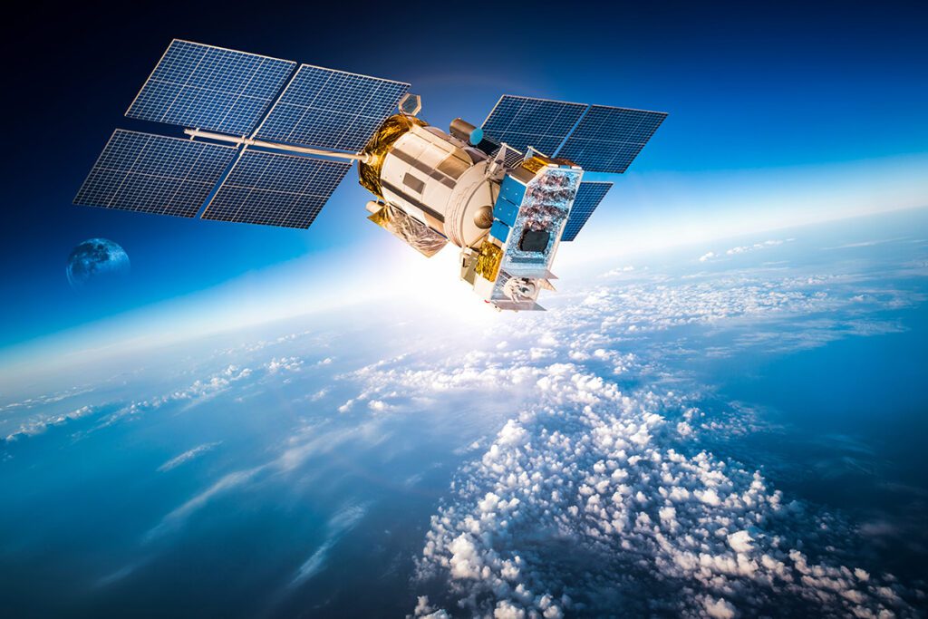
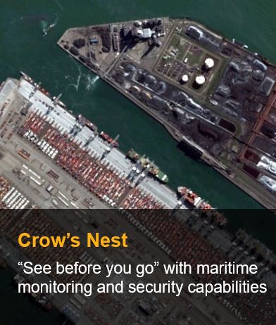
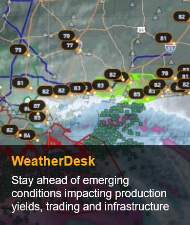
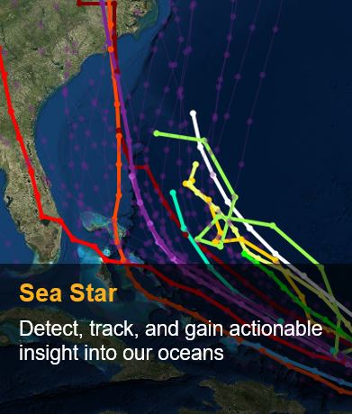
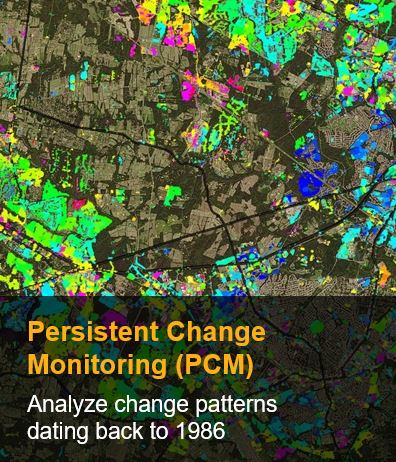
We partnered with the top companies in the field of satellite design, manufacturing, and deployment, to provide the most accurate and clear satellite imaging in the world using state of the art satellite constellations and expert analysts.
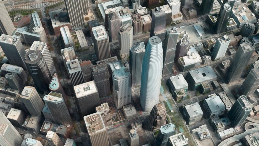
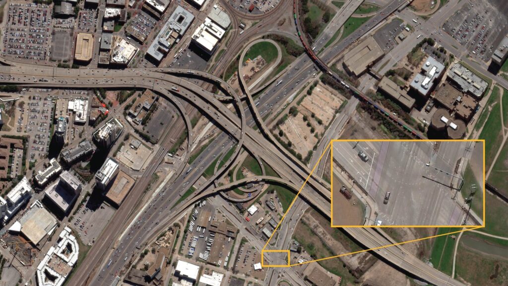
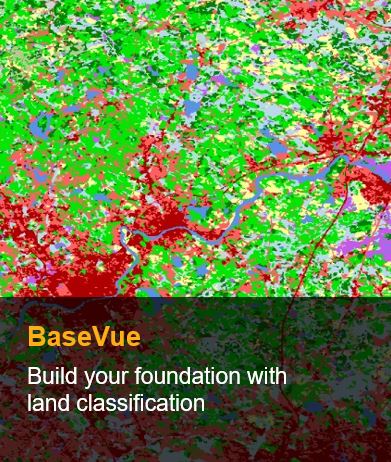
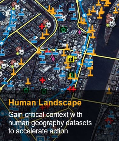
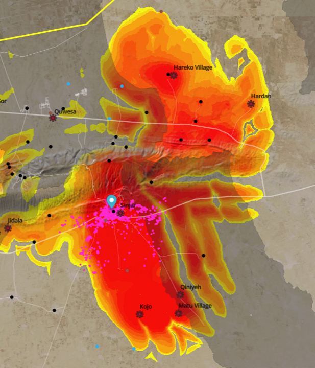
Satellite imaging can be used to map geographic areas, create topographic and traffic data, 3D building footprints, monitor location and time sensitive logistical challenges, GIS ready datasets, and many more.


